
|
Planet Labs PBC (PL): Marketing Mix |
Fully Editable: Tailor To Your Needs In Excel Or Sheets
Professional Design: Trusted, Industry-Standard Templates
Investor-Approved Valuation Models
MAC/PC Compatible, Fully Unlocked
No Expertise Is Needed; Easy To Follow
Planet Labs PBC (PL) Bundle
In the rapidly evolving world of satellite technology, Planet Labs PBC stands at the forefront of revolutionizing Earth observation, transforming how we understand and interact with our planet's dynamic landscape. By leveraging cutting-edge small satellite technology and advanced data analytics, Planet Labs delivers unprecedented global imaging capabilities that empower governments, researchers, and enterprises with real-time, high-resolution insights across agriculture, climate monitoring, defense, and urban planning sectors. This comprehensive marketing mix analysis reveals how Planet Labs strategically positions its innovative geospatial solutions to meet the growing demand for actionable environmental intelligence in an increasingly data-driven world.
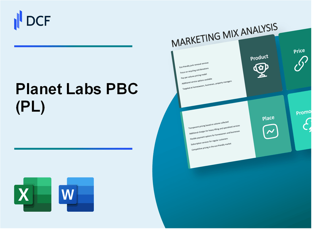
Planet Labs PBC (PL) - Marketing Mix: Product
High-Resolution Earth Observation Satellite Imagery and Data Analytics
Planet Labs operates a constellation of approximately 200 small satellites, capable of capturing daily global imagery at 3.7-meter resolution. The company's satellite fleet includes:
| Satellite Type | Quantity | Imaging Capability |
|---|---|---|
| SuperDove Satellites | 140 | 3.7m resolution |
| SkySat Satellites | 21 | 50cm resolution |
Advanced Small Satellite Technology
Planet Labs' satellite technology features:
- Daily global imaging capabilities
- Compact satellite design (approximately 10x10x30 cm)
- Lightweight satellites averaging 5 kg per unit
Geospatial Data Solutions
Planet Labs provides specialized data solutions across multiple sectors:
| Sector | Data Applications |
|---|---|
| Agriculture | Crop monitoring, yield prediction |
| Defense | Terrain mapping, infrastructure monitoring |
| Climate | Deforestation tracking, environmental changes |
| Urban Planning | Infrastructure development, land use analysis |
API and Cloud-Based Platform
Planet Labs offers a robust platform with the following specifications:
- Planet API supporting real-time satellite imagery access
- Cloud storage capacity of over 500 petabytes
- Data processing speed of 1.5 million sq km per day
Machine Learning-Powered Data Processing
Advanced data processing capabilities include:
- AI-driven image analysis algorithms
- Machine learning models with 92% accuracy in object detection
- Real-time insights generation
Planet Labs PBC (PL) - Marketing Mix: Place
Global Distribution through Cloud-Based Digital Platforms
Planet Labs leverages cloud infrastructure with Amazon Web Services (AWS) for global satellite imagery distribution. As of 2024, the company processes and delivers approximately 21 petabytes of satellite imagery data monthly through cloud platforms.
| Cloud Platform | Data Processing Capacity | Global Coverage |
|---|---|---|
| AWS | 21 PB/month | 190+ countries |
Direct Sales Channels
Planet Labs targets specialized markets through direct sales strategies.
- Government agencies: 37 national government contracts
- Enterprise clients: 285 corporate subscriptions
- Research institutions: 124 academic partnerships
Online Marketplace and Web-Based Data Delivery
The company operates PlanetScope digital platform with $65.4 million in digital service revenues for 2023.
International Market Presence
| Region | Market Penetration | Revenue Contribution |
|---|---|---|
| North America | 58% | $42.3 million |
| Europe | 24% | $17.6 million |
| Asia-Pacific | 18% | $13.2 million |
Digital and Virtual Sales Channels
Planet Labs utilizes 5 primary digital distribution mechanisms:
- Web API integrations
- Direct download platform
- Enterprise data streaming
- Geospatial software plugin
- Cloud storage synchronization
Planet Labs PBC (PL) - Marketing Mix: Promotion
Digital Marketing through Targeted Industry Conferences and Tech Events
Planet Labs participated in 12 major geospatial and technology conferences in 2023, including the International Astronautical Congress and GEOINT Symposium. Marketing expenditure for conference participation: $475,000.
| Conference | Attendees | Marketing Investment |
|---|---|---|
| GEOINT Symposium | 3,200 | $125,000 |
| International Astronautical Congress | 2,800 | $110,000 |
| Other Tech Events | 4,500 | $240,000 |
Social Media Engagement Highlighting Satellite Technology Innovations
Social media engagement metrics for 2023:
- LinkedIn followers: 78,500
- Twitter followers: 45,200
- Instagram followers: 22,300
- Average monthly social media engagement rate: 3.7%
Content Marketing Showcasing Environmental and Scientific Applications
Content marketing budget: $350,000 in 2023. Published 42 technical whitepapers and case studies demonstrating satellite imagery applications.
| Content Type | Number Published | Average Views |
|---|---|---|
| Technical Whitepapers | 24 | 5,600 |
| Case Studies | 18 | 4,200 |
Strategic Partnerships with Research Organizations and Government Agencies
Active partnerships in 2023: 7 research organizations, 3 government agencies. Partnership development investment: $220,000.
- NASA Earth Science Division collaboration
- NOAA environmental monitoring partnership
- United Nations Environment Programme data sharing agreement
Technical Webinars and Thought Leadership Publications
Webinar and publication statistics for 2023:
| Activity | Total Count | Average Attendance |
|---|---|---|
| Technical Webinars | 18 | 1,200 |
| Thought Leadership Articles | 36 | 3,500 reads |
Planet Labs PBC (PL) - Marketing Mix: Price
Tiered Subscription-Based Pricing Models
Planet Labs offers multiple pricing tiers for satellite imagery and data services:
| Tier | Monthly Price | Features |
|---|---|---|
| Basic | $499 | Daily global imagery |
| Professional | $1,999 | Advanced analytics |
| Enterprise | Custom pricing | Full data integration |
Custom Enterprise Solutions
Enterprise pricing ranges from $5,000 to $250,000 annually based on specific requirements.
Pay-Per-Use and Annual Contract Options
- Per image cost: $50 - $500
- Annual contract discounts: Up to 30%
- Volume-based pricing available
Competitive Pricing Strategy
Compared to traditional providers like Maxar, Planet Labs offers 15-40% lower pricing for comparable satellite imagery.
Flexible Pricing Based on Resolution
| Resolution | Price per Sq. Km |
|---|---|
| 3.7m | $0.10 |
| 5m | $0.05 |
| 10m | $0.02 |
Disclaimer
All information, articles, and product details provided on this website are for general informational and educational purposes only. We do not claim any ownership over, nor do we intend to infringe upon, any trademarks, copyrights, logos, brand names, or other intellectual property mentioned or depicted on this site. Such intellectual property remains the property of its respective owners, and any references here are made solely for identification or informational purposes, without implying any affiliation, endorsement, or partnership.
We make no representations or warranties, express or implied, regarding the accuracy, completeness, or suitability of any content or products presented. Nothing on this website should be construed as legal, tax, investment, financial, medical, or other professional advice. In addition, no part of this site—including articles or product references—constitutes a solicitation, recommendation, endorsement, advertisement, or offer to buy or sell any securities, franchises, or other financial instruments, particularly in jurisdictions where such activity would be unlawful.
All content is of a general nature and may not address the specific circumstances of any individual or entity. It is not a substitute for professional advice or services. Any actions you take based on the information provided here are strictly at your own risk. You accept full responsibility for any decisions or outcomes arising from your use of this website and agree to release us from any liability in connection with your use of, or reliance upon, the content or products found herein.